

DJI Mavic 3 Drone Multispectral Universal Edition/NDVI/Up to 200 Has per flight/Up to 10km transmission


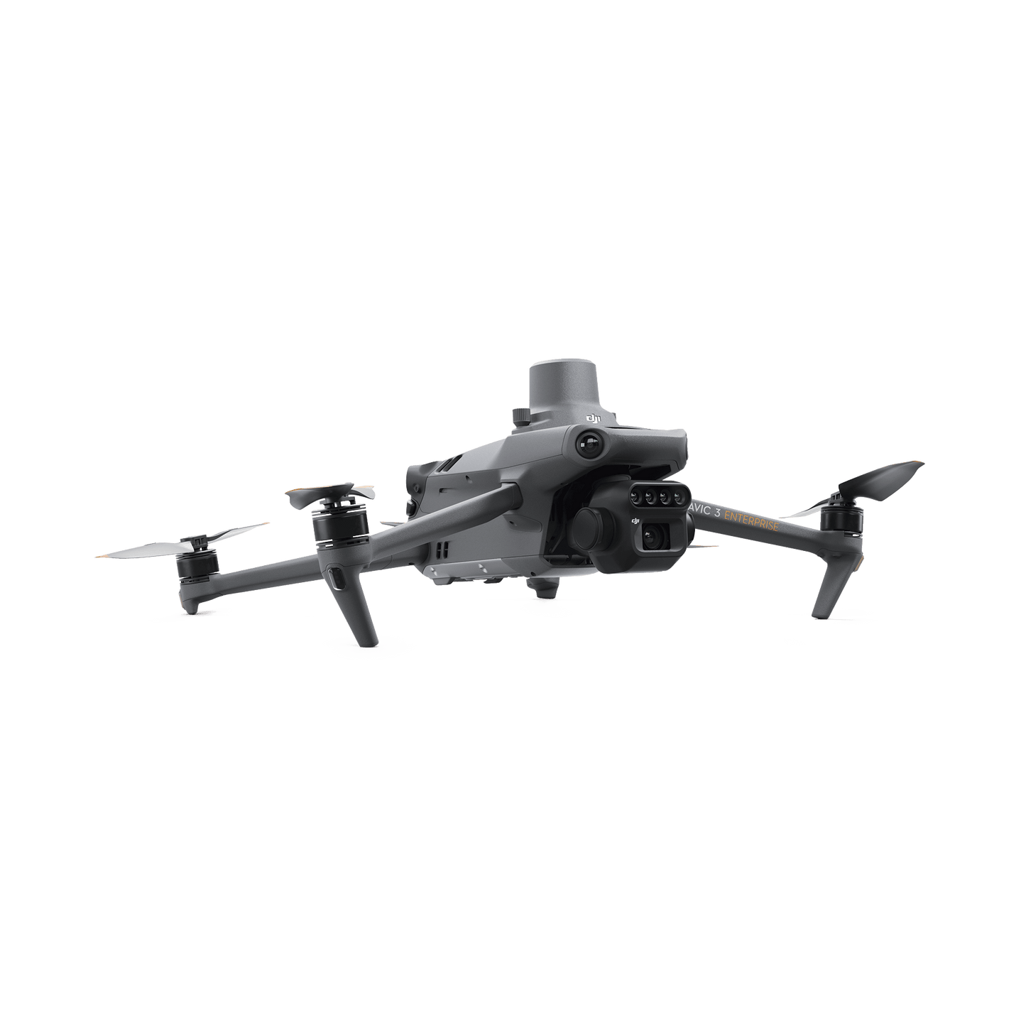
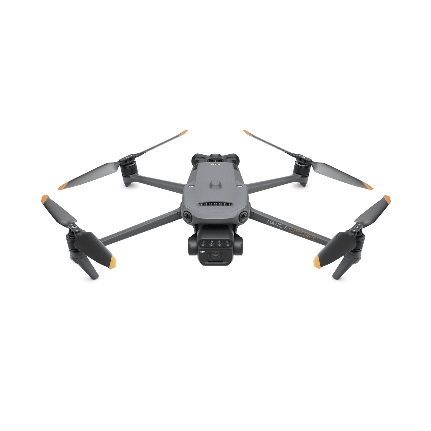
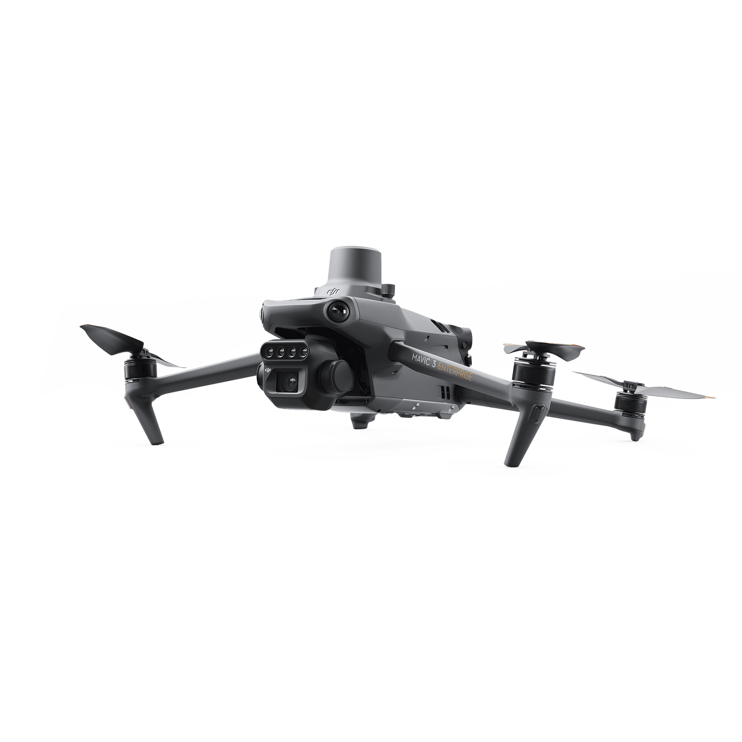
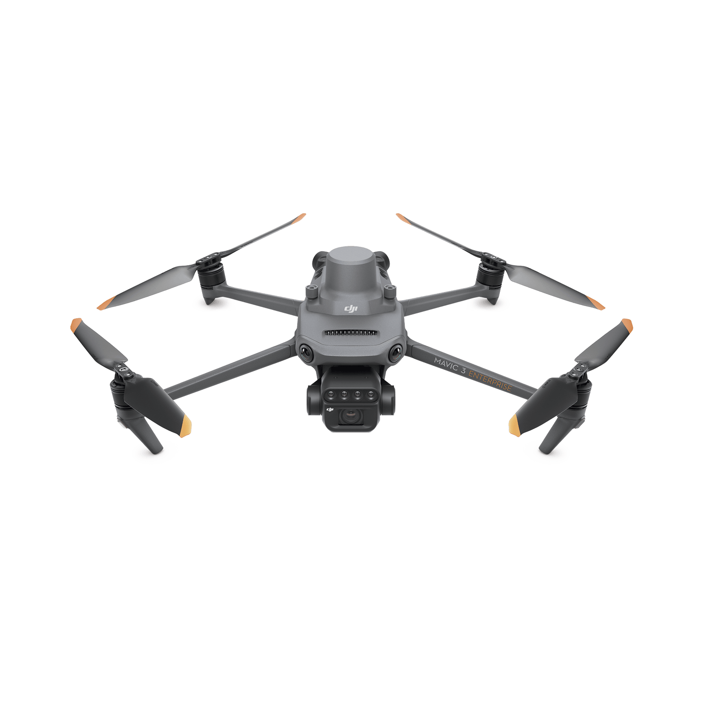
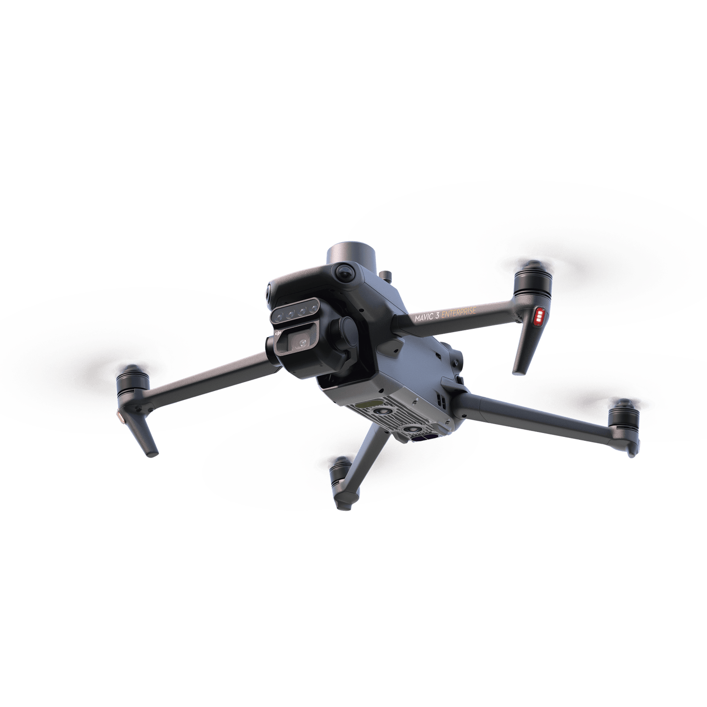
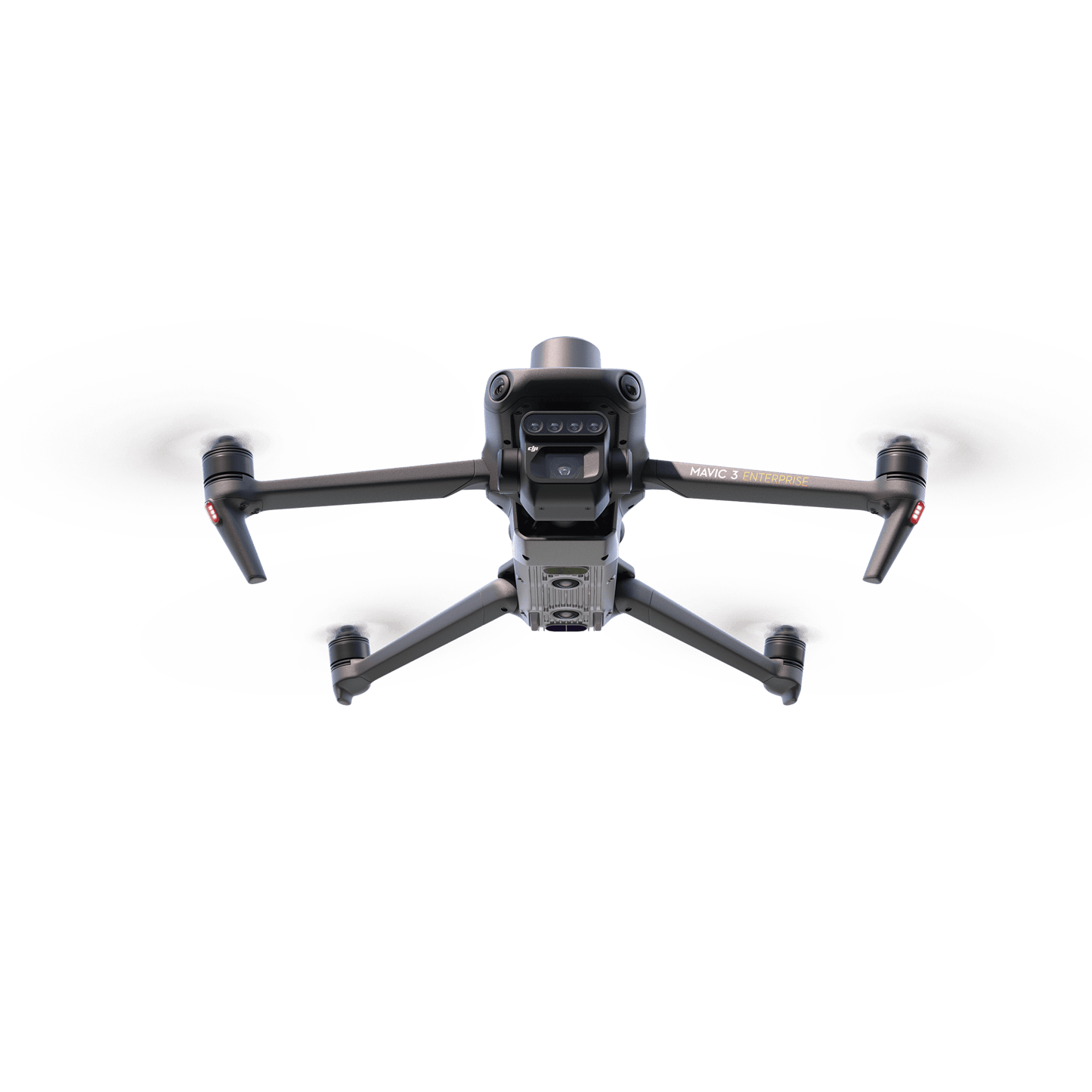
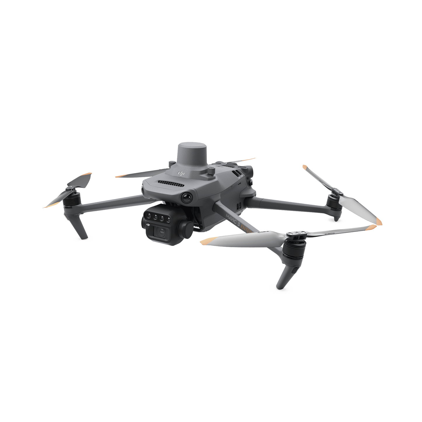
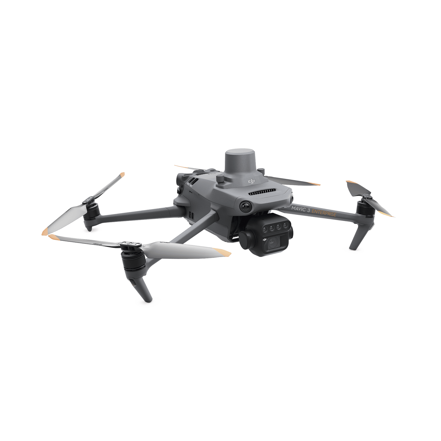
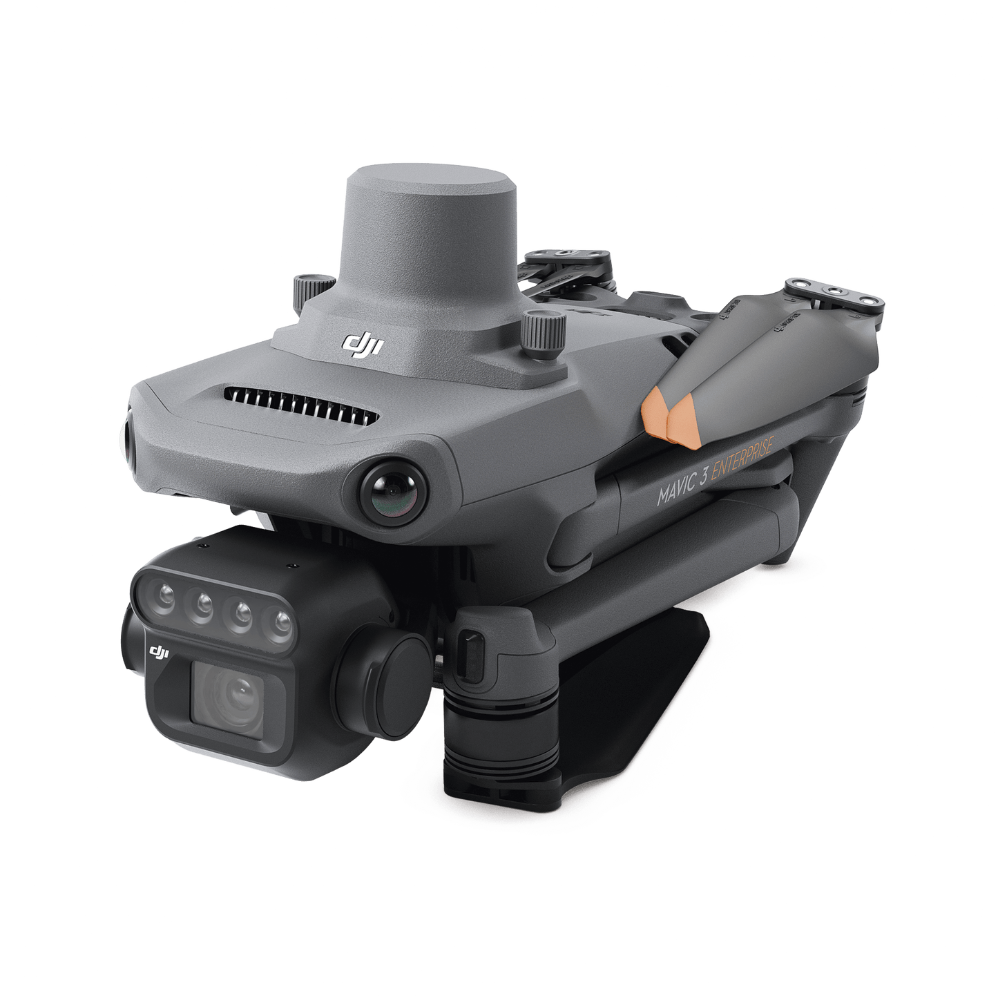
- 20 MP CMOS 4/3 RGB camera mechanical shutter
- 4X5 multispectral camera
- Omnidirectional anti-collision system.
- Transmission range of 15 km.
- Up to 200 hectares per flight.
- Centimeter level RTK positioning.
- Time synchronization in microseconds.
- 1 YEAR WARRANTY AGAINST MANUFACTURING DEFECTS
- Operating temperature: -10 to 40°C (14 to 104°F)
- MAVIC3M drone.
- Remote control.
- A battery.
- Set of propellers and a spare pair.
- power cable and adapter.
- RTK module
- Rigid use case.
Optional:
Battery kit: M3BATKIT
Battery: M3BAT

MAVIC3M
Efficient aerial surveying needs to see the invisible. That's why, Mavic 3 Multispectral has two ways to view. It combines an RGB camera with a multispectral camera to scan and analyze crop growth with complete clarity. Agricultural production management requires precision and data, and Mavic 3M offers both.


Efficient and reliable battery life

Ultra-long battery life: fast bursts
43 minutes
Cruise time
200 Hectares
A single flight can complete mapping operations in an area of 200 hectares.
Fast charge
100W battery charging center
High efficiency fast charging
88W fast charging

Stable signal, smooth image transmission

The O3 transmission integrates two transmit signals and four receive signals to enable ultra-long transmission distances of 15 km.
Omnidirectional anti-collision system, terrain following aerial surveying
The aircraft has multiple wide field of view visual sensors that accurately detect obstacles in all directions to achieve an omnidirectional anti-collision system. Terrain-following aerial surveying can be easily performed on steeply sloping landscapes.

Applications

Orchard mapping
LMavic 3M allows aerial ground monitoring inspection of orchards, even on sloping terrain. Together with DJI Terra or DJI SmartFarm Platform, it reconstructs orchard maps in high resolution, automatically determines the number of trees, distinguishes trees from other obstacles or objects and generates three-dimensional operational routes for agricultural drones, to make operations safer and more efficient.
Aerial mapping with MAVIC 3M
Mapping with DJI Terra/ SmartFarm Platform
Generate 3D routes
Agricultural drone operation
Intelligent field exploration
The Mavic 3M can perform automatic field scanning. Field exploration images can be uploaded to the DJI SmartFarm Platform in real time over a 4G network. You can find abnormalities, as emergency deficiencies, weed pressure and lodging of crops in a timely manner. You can also perform intelligent analysis, such as cotton seedling identification and rice production testing, using AI identification to share crop growth information in real time, the guidance of agronomic activities and the easy management of 70 hectares of farmland by a single person.

Environmental monitoring and inspection of natural resources
The Mavic 3M can also be used in environmental and natural resource inspections, as monitoring of water eutrophication, forestry distribution inspections, inspections of urban green areas, etc 